🏔 Mt. Shuan & Mt. Linming Worthit!
📍 Mt. Shuan (閂山) & Mt. Linming (鈴鳴山), Taichung, Taiwan
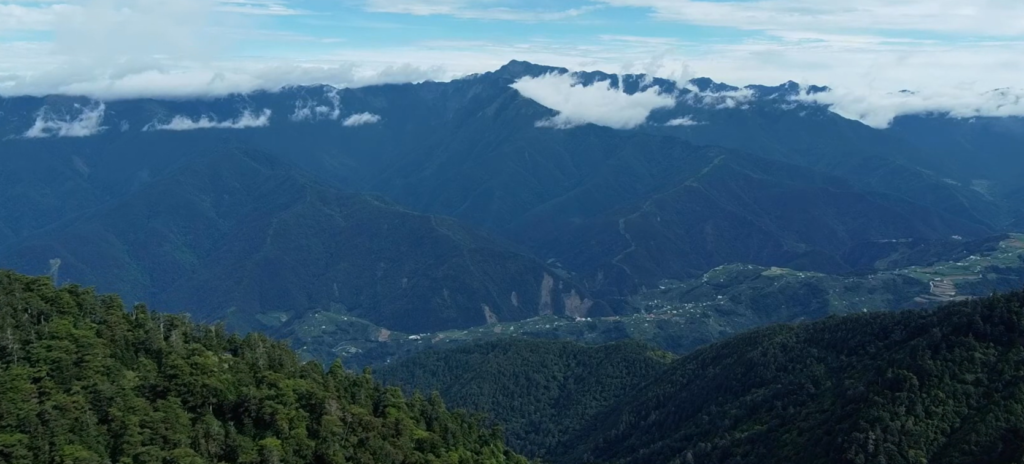
Trip date: June 12-14th, 2022
Well, our plan was: Day 1- Mt. Linming and Mt. Rendai (人待山), Day 2- Mt. Shuan.
Normally people don’t do this because they would be freaking tired on the first day 😅.
And yes, we only completed Mt. Rendai and the Mt. Rendai North Peak on the first day due to weather and time issues. 🌧
In any case, to reach the destination, you can go either from Yilan or Taichung. After all, it’s in the middle of both cities/counties.
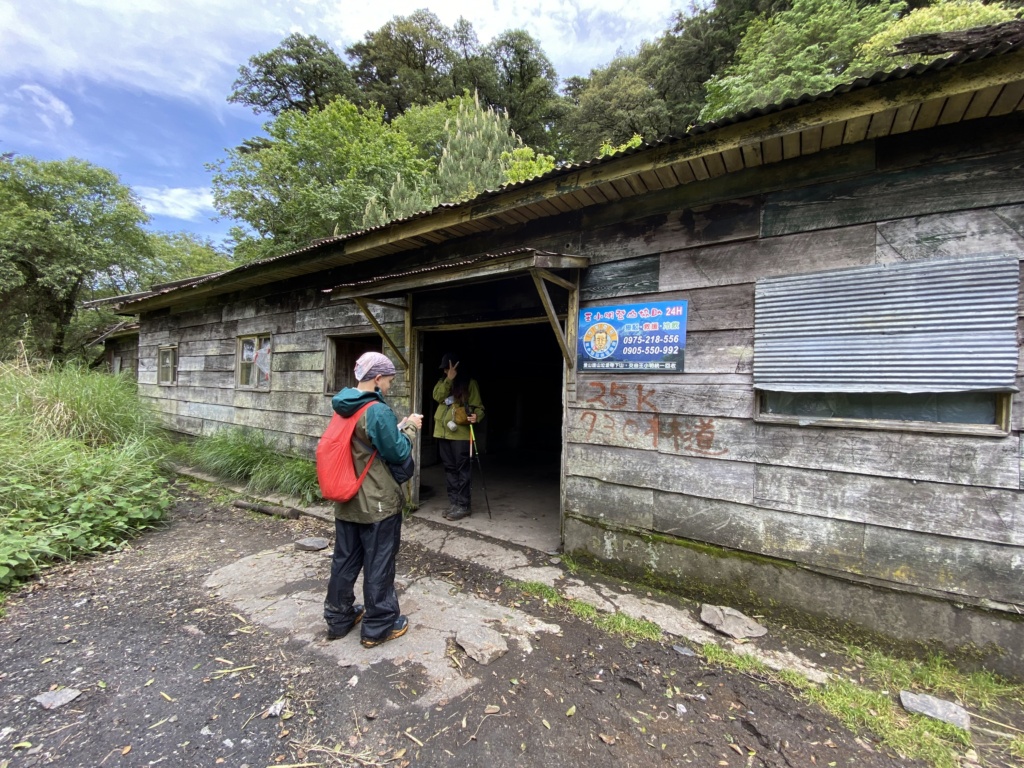
For us, we started from Taipei and went pass through Yilan. It took us about 3.5 hours to reach our stay (光果農莊-小明登山協助站).
The cost is $400/per person with a drinking water machine, clean beds, and many shower rooms equipped with shampoo and body soap.
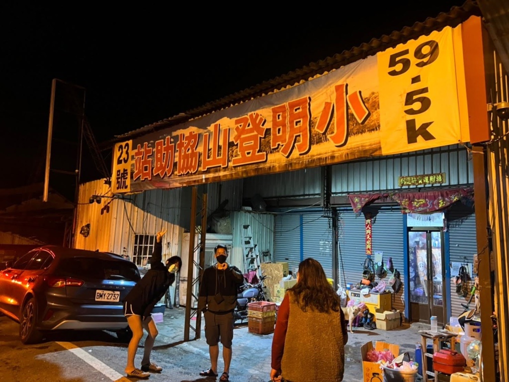

Starting from the Qingquan Bridge (清泉橋) in Taichung, aka the connection of Provincial Highway 7A(省道台7甲線) and the starting point of the 730 forest road, the bumpy 730 forest road will lead you to the trailhead in 11.7k.
The trailhead in 11.7k is where you can begin your adventure toward the Mt. Ganshu South Peak/ Mt. Ganshu (甘薯南峰/甘薯峰), the Mt. Shuan, Mt. Rendai, Mt. Wuming (無明山) or Mt. Linming.


Our host (光果農莊-小明登山協助站) offered a lift to the trailhead in 11.7k, it was $4000 for one car which can fit a maximum of 7 people. They drive you there and after a day or two when you complete your hike, simply call them again and they’ll drive you back to the 光果農莊-小明登山協助站.
We were supposed to leave at 3 am, but we thought of getting more sleep so we left at 4 am instead… turned out it was not a good decision as we couldn’t finish 2 mountains (Mt. Linming and Mt. Rendai) on the first day (which was fine for us haha).

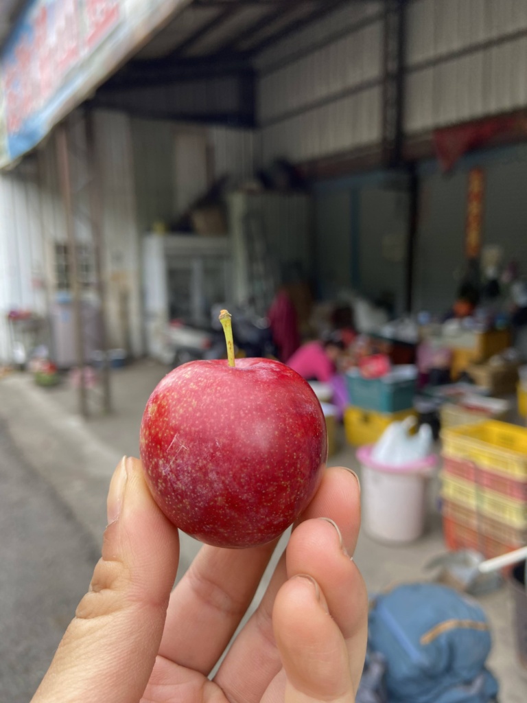
(Some people said the host will normally give refreshments such as drinks and fruits after you’re back)
Below is an animated overview route of our whole trip.
The photo below with the fence and the red board shows the trailhead in 11.7K.
This is where the host will drop you off and also where you start and end your journey. No car is allowed beyond this point.

Before you reach Mt. Shuan trailhead you’ll come across about four rivers and small waterfalls.


As the trail used to allow cars to drive on, there’re some turnout lane signs (a sign that shows the area where cars can pull to the side and allow cars behind to pass).

Most of the time the view was blocked by the trees. But there are still some places where you get to see the valley!
In general, the trail is quite flat. But the further you walk, the more arrow bamboos you’ll come across.
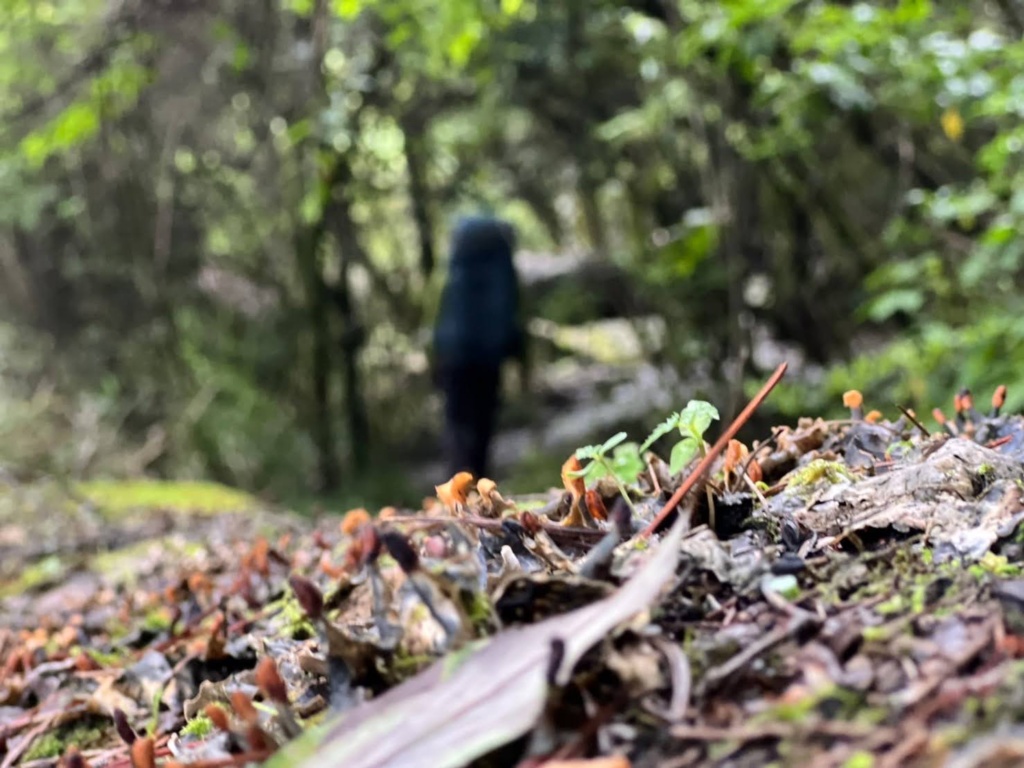
We also saw the Formosan field mouse (台灣森鼠) during our trip.🐭


p.s. We think the photo at the right is 💩 from the 🐐or🦌



It was a bit windy and also with little rain that day, but we still managed to fly it.
Speaking of which, during our whole trip, you’re able to fly the drone (no prohibited area in general).
As the rain was getting big, we started to head down and back.

It was about this time that I realized my headache was getting serious…
I knew it was due to the altitude sickness because I forgot to take the altitude sickness prevention pills before starting the trip.
So if!!! you don’t normally live in a high-altitude area, strongly suggest that you head to the family medicine clinic or ask the family physician to prescribe you the altitude sickness prevention pills such as Diamox (丹木斯, ingredient: acetazolamide), and start taking them a day or 2 days before the trip.


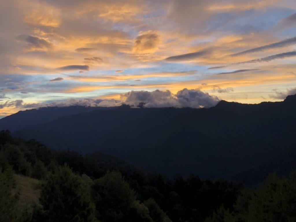
After the sunrise and the breakfast, we started to head back home!
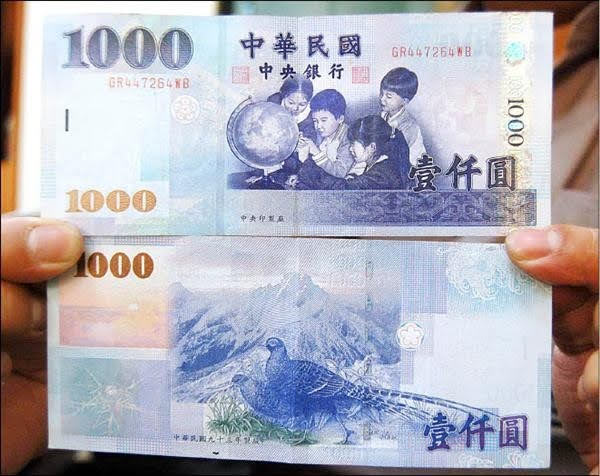

One good and simple way to distinguish between a Mikado Pheasant and a Swinhoe’s Pheasant is by seeing the feather on their tails. But this method only applies to male birds.
If there are big black feathers with only a few white feathers on their tails, they are the Mikado Pheasant!
If there are big white feathers on most of the area of their tails, they are Swinhoe’s Pheasants.

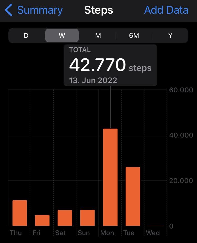
To sum up, it was not a super challenging trail, this was even the first Taiwan 100 Peaks (Baiyue 百岳) for some of our partners in their lives, and they all say exclude the time issue, it’s rather a simple one.
Just make sure you wear non-slippery shoes and bring trekking poles with you!
And of course, don’t forget your other things (tents, water bags, water filter, food, sleeping bags, mattress, rain clothes, wool hats & scarves, gloves, extra clothes, etc.) if you’re staying over!


One response to “Mt. Shuan & Mt. Linming (Shuanshan & Linmingshan)”
This design is spectacular! You most certainly know how to keep a reader amused.
Between your wit and your videos, I was almost moved to
start my own blog (well, almost…HaHa!) Fantastic job.
I really loved what you had to say, and more than that, how you presented it.
Too cool!